Español | English

Development of a web geoportal to facilitate the mapping, dissemination and enhancement of the cultural and natural heritage of Canton Nabón (Azuay, Ecuador).

International Cooperation Project, call ADSIDEO-COOPERACIÓN 2019, of the Centro de Cooperación al Desarrollo (CCD) of the Universitat Politècnica de València. Project code: AD1906.

The world is losing its architectural and archaeological cultural heritage faster than it can be documented, preserved and disseminated. A combination of natural and human actions such as long-term climate change, vandalism, war, pollution and natural hazards such as floods, volcanic activities and earthquakes are affecting natural architectural features and archaeological cultural heritage. We have a moral obligation to preserve the past filled with history, culture, advancement of arts and technology as an insight to our present and as part of our future. But resources are usually scarce and/or limited, and consequently reduce the potential of development with appropriate measures and actions.

This international cooperation project among the Universitat Politècnica de València (UPV), the University of Azuay, the National Institute of Heritage of Ecuador and the GAD of Nabón is in line with the 2030 Agenda for Sustainable Development that was adopted by the United Nations in 2015, that includes 17 Sustainable Development Goals (SDGs). In particular, SDG 11.4 seeks to strengthen efforts to protect and safeguard the world's cultural and natural heritage. This website shows our commitment to SDG 11.4 through this project in the Ecuadorian village of Nabón.

In this project, different geomatics tasks are being carried out for heritage preservation. Specifically:

  • Implementation of a heritage geportal for Nabón.
  • Geometric documentation of cultural and natural heritage of Nabón by means of aerial photogrammetry with drones.
  • 3D geovisualization and virtual reality of architectural heritage elements.
  • Virtual recreation of the Dumapara archaeological site.
  • Development of a mobile app for the monitoring of built heritage elements.

Some of the results of the 3D documentation are shown below:

The Nabon geoportal is currently being implemented with Arches:

The web geoportal can be consulted at the following link.

The members of the team are grateful for the support for the participation of the students in MERIDIES 2020 Development Cooperation Projects of the CCD, in particular, the support to the project 15_AZU_ECU_20 (95953).

Related publications:

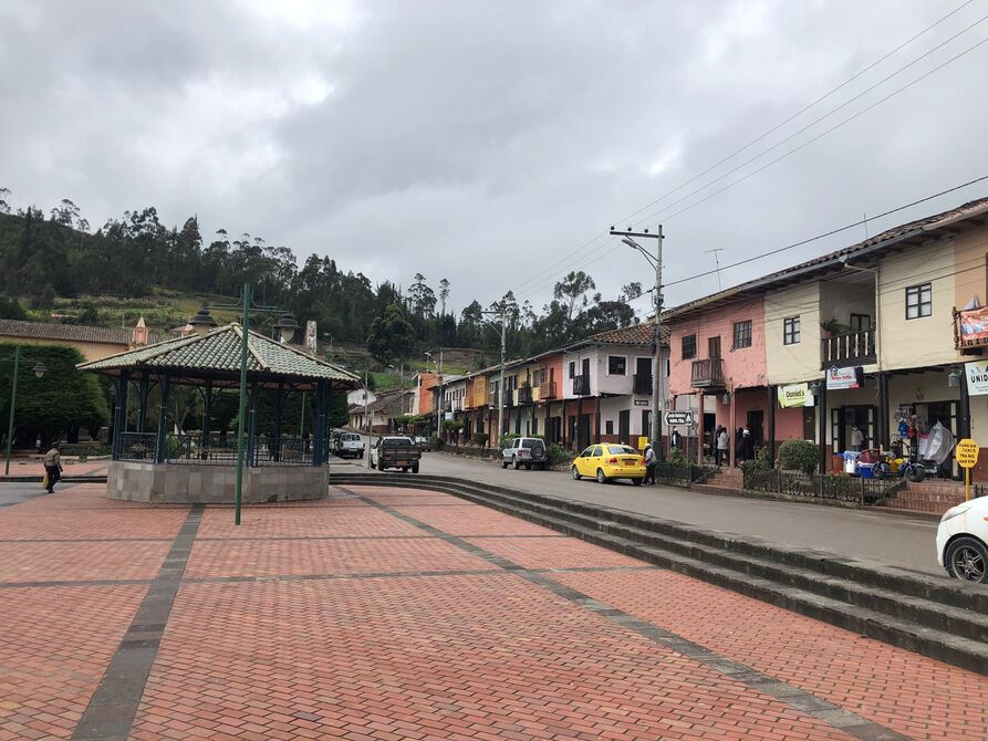
A web-based geoinformation system for heritage management and geovisualisation in Cantón Nabón (Ecuador).

Collado, A., Mora-Navarro, G., Heras, V., Lerma, J. L., 2022. ISPRS International Journal of Geo-Information, 11(1), 4. https://doi.org/10.3390/ijgi11010004.

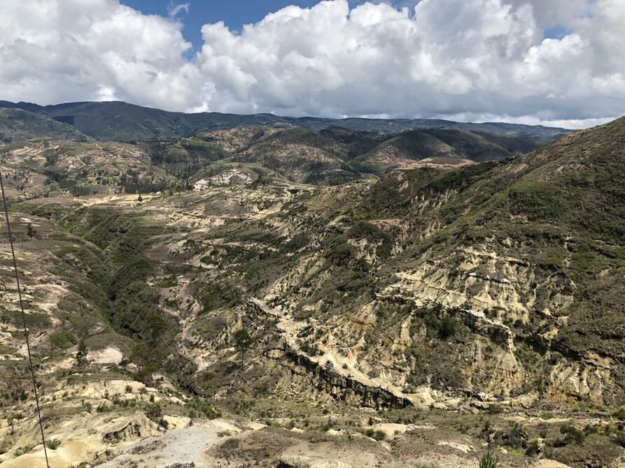
Geomatics documentation techniques as a monitoring tool for rural built heritage.

Collado, A., Heras, V., Rodas, P., Delgado-Pinos, O.A., Carrion, C., Mora-Navarro, G., Lerma, J.L., 2021. ISPRS Ann. Photogramm. Remote Sens. Spatial Inf. Sci., VIII-M-1-2021, 65–72. https://doi.org/10.5194/isprs-annals-VIII-M-1-2021-65-2021.

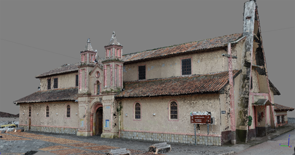
Cantón Nabón cultural heritage geoportal implementation: first steps.

Collado, A., Mora-Navarro, G., Rodas, P., Heras, V., Lerma, J.L., 2021. In J. L. Lerma & M. Cabrelles (Eds.), Proceedings of the joint international event 9th ARQUEOLÓGICA 2.0 & 3rd GEORES (pp. 566–568). Valencia: Universitat Politècnica de València.

Geoportal proposal for the inventory of cultural heritage in Nabón (Ecuador).

Lerma, J.L., Heras, V., Mora-Navarro, G., Rodas, P., Matute, F., 2020. The International Archives of the Photogrammetry, Remote Sensing and Spatial Information Sciences, XLIII-B2-2020, 1415-1418.