Español | English
3DVEM Software
3DVEM — Register GEO
3DVEM — Register GEO is a powerful low-cost software that solves the transformation, fusion, alignment, orientation or registration of 3D data between different coordinate systems, acquired by different metric devices, either range-based (laser scanner/LiDAR, RADAR, structured light, total station, distance meter, tape, GNSS…) or image-based (photogrammetry, computer vision, SfM…).

VIDEO: Absolute orientation and georeferencing of 3D data with the 3DVEM — Register GEO software (English subtitles).
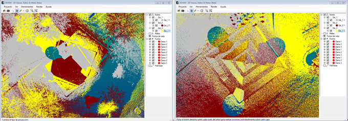
The software 3DVEM — Register GEO is made up of two modules, 3DVEM — Register and 3DVEM — GEO, in order to provide a unified solution that facilitates the resolution of all problems related to alignment, scaling, translation, unification and 3D positioning (i.e. 3D transformation or fusion) in multiple formats, either point clouds or 3D data measured with tape, level or plumb line. The software is designed to enable the integration of simple data (for instance, based either on the arbitrary alignment of two point features, or on a measured distance and an arbitrary origin) as well as sophisticated data (for instance, LiDAR datasets).
Además también está disponible una versión gratuita que permite visualizar, editar y medir.